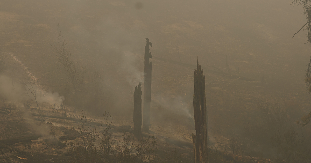
UKIAH, Ore. – Firefighters on the Monkey Creek Fire continued to see challenging weather and very active fire behavior, but they held established lines tightly without much growth on key priorities.
Limited visibility over the fire kept helicopters grounded early in the day, so air resources were shared with the Double Snag Fire to the east until the smoke lifted in the afternoon. When they returned, they were able to help slow fire growth on the northern portion of the fire. Crews in the north continued to tie in dozer and contingency lines.
Although fire behavior was highly active on the eastern portion of the fire, crews were able to keep the fire from moving south and northeast and kept the fire from crossing Highway 395 and Camas Creek to the east. They also prepared for nighttime firing operations to remove fuels from existing indirect lines.
Crews continue to hold the southeastern flank of the head of the fire. In that very active portion, they are also burning out the remaining vegetation between the fire and indirect lines.
Because of where the fire has shifted and expanded, crews working farthest from fire camp in Ukiah, will move to and be supported by the Boneyard fire camp. This will help reduce two hours of driving each day, which gives them more time to rest and mitigates risks associated with driving.
Crews will continue mop-up operations and patrolling on the 4,485-acre North Fork Owens Fire, which stands at 40% containment (the complex stands at 5% containment). Pockets of unburnt vegetation remain within the fire’s footprint. Residents should expect to see some smoke in the interior. Division resources will patrol the perimeter overnight and support local initial attack for any new starts.
Evacuations: Level 1 (Be Ready), Level 2 (Be Set) and Level 3 (Go Now) evacuations are in effect. For updated information, visit:
· For Umatilla County, follow facebook.com/UmatillaCountySheriff or sign up for Umatilla County Emergency Alert System at https://member.everbridge.net/index/2590041373147145.
· For Grant County, visit the RAPTOR arcgis site or sign up for alerts at: https://member.everbridge.net/index/825462649520134.
FIRE AT A GLANCE
Total Estimated Size: 52,832 acres
Monkey Creek: 48,348
North Fork Owens: 4,485 acres
Snake: (Merged with Monkey Creek)
Containment: 5%
Cause: Under Investigation
Estimated Cost: $3,500,000
All Resources
Hand Crews: 18
Engines: 34
Water Tenders: 16
Dozers: 10
Helicopters: 6
Total Personnel: 678


