By CHRIS AADLAND, CUJ
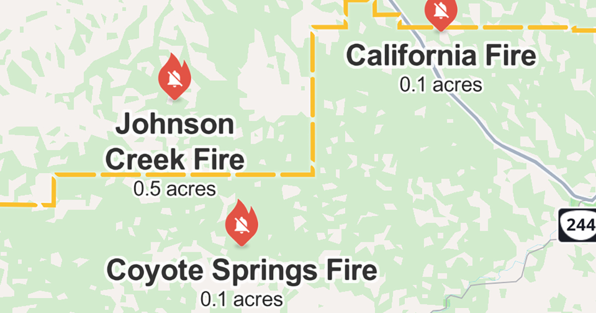
MISSION – The tribe has been working to put out a small wildfire in an isolated area of the Umatilla Indian Reservation’s Johnson Creek Restoration area on Thursday and is monitoring for others that may emerge throughout the day.
Earlier Thursday morning, the fire was estimated to have burned less than an acre near Johnson Creek, though Confederated Tribes of the Umatilla Indian Reservation (CTUIR) Department of Natural Resources (DNR) Director Eric Quaempts said he didn’t have an updated estimate as of 12 p.m.
He said staff were confident that the fire was under control after two helicopters dropped several loads of water on the blaze throughout the morning. They will likely douse it with a few more rounds of Indian Lake water in the afternoon as a precaution.
A crew of eight to 10 firefighters was sent to begin setting a perimeter to help prevent any remnants from growing as well as putting out any hot spots that remained, Quaempts said, adding that DNR staff was working alongside the Bureau of Indian Affairs Umatilla Agency to fight the blaze.
The fire burned in a remote area of steep and difficult terrain and didn’t threaten any structures.
The Johnson Creek wildfire is just one of many – like the one that ignited Wednesday afternoon and charred about 20,000 acres south of Pilot Rock – that have kept firefighters busy.
Another fire closer to the reservation’s boundary is burning in the Cold Springs Loop and Weston Mountain area, according to the Umatilla County Sheriff’s Office.
At about 12 p.m., the sheriff’s office issued a level 2 evacuation notice, warning residents to be ready to flee to safety “at a moment’s notice” for those South of Highway 204, East of Giger Lane to McDougal Road. That included all residences on McDougal Road, south to Rock Creek and the Pine Creek Road system east of Read and Hawley Mountain.
A less serious level 1 notice was issued for residences immediately north of Highway 204 and north to Couse Creek. That included portions of Lincton Mountain Road from Little Dry Creek south to the Umatilla River along the reservation boundary down to the South Fork of the Umatilla River, and then east to Buck Mountain over to Langdon Lake and north to McIntyre Road.
“We could end up finding more fires today,” Quaempts said of the hot and dry conditions expected for the rest of Thursday.
If that happens, he said his concern was that with all the other active fires across the region there would be a shortage of resources and firefighters to call in for extra help.


