MISSION — Four cars, multiple tires and a gun store’s worth of bullet shells and casings have significantly increased the lead levels in and around Johnley Pond.
While performing a survey of the pond area on April 6, Confederated Tribes of the Umatilla Indian Reservation (CTUIR) Environmental Health and Safety Specialist Brian Fullen said the lead contamination in some parts of the area reached as high as 6,000 parts per million (ppm). Natural levels of lead in U.S. soils range from 0.5 ppm to 1,200 ppm, with a nationwide average of 26 ppm, according to the Environmental Protection Agency (EPA) website. The agency also says that lead can move from soil into groundwater depending on the type of lead compound and soil characteristics.
“A lot of the lead contamination is from people shooting,” Fullen said. “You see shotgun shells, bullets and targets. I’ve come up here and found TVs, monitors, propane tanks.”
The health effects from lead exposure can lead to behavior and learning problems, hyperactivity, slowed growth, hearing problems and anemia in children and can induce cardiovascular effects, decreased kidney function and reproductive problems in adults, according to the EPA. Pregnant women who are exposed to lead can experience premature birth, an increased likelihood of behavioral or learning problems or put the mother at risk of a miscarriage.

In addition to being used as a dumping ground, the area around Johnley Pond is also a shooting range and an informal party spot. Because of continued activity there, officials have posted signage at the entrance warning the public of active mitigation efforts, and tribal police are patrolling the area to prevent interference with surveys and further littering.
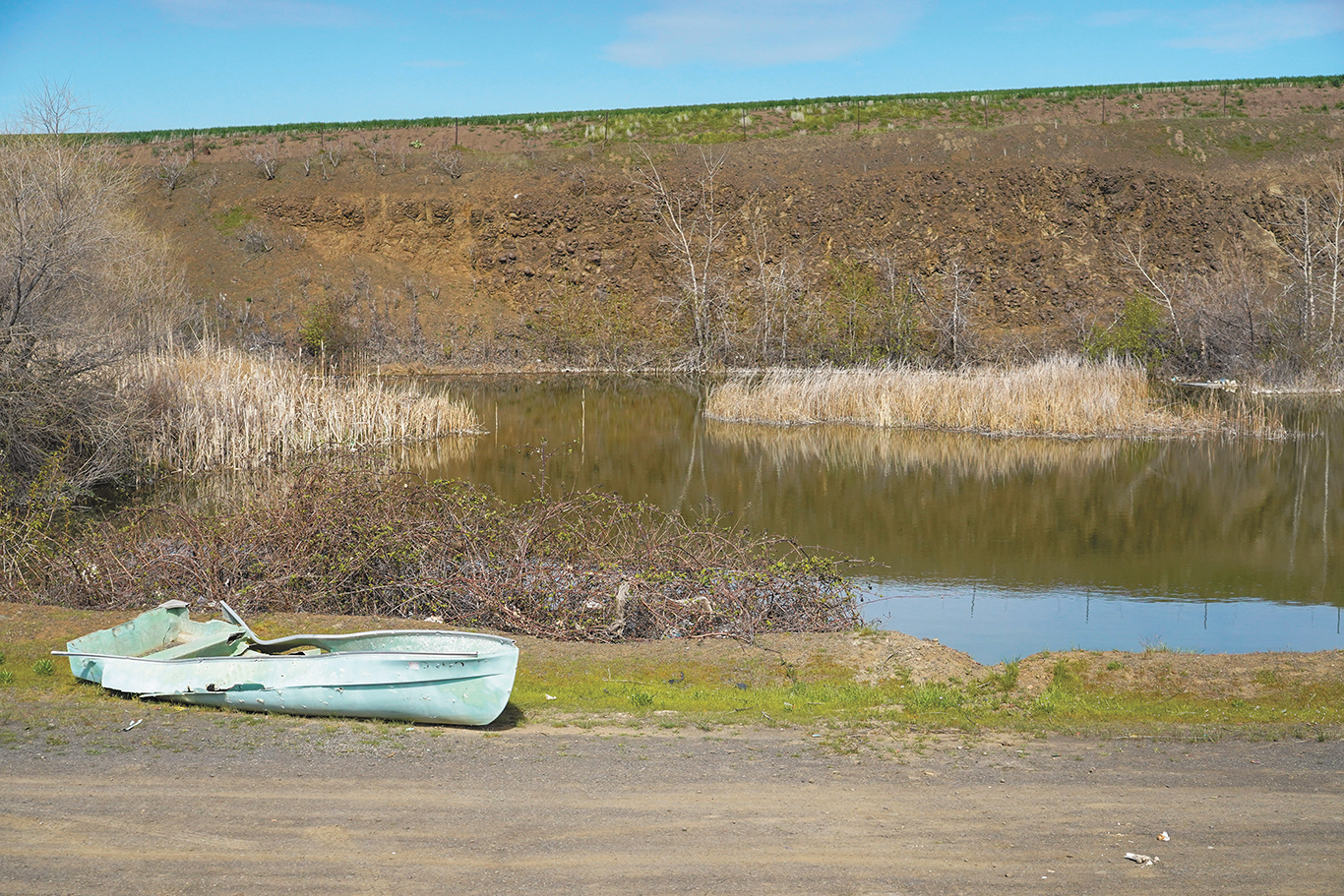
The area around the pond, which used to be a rock quarry, is littered with bullet casings and shells, empty cans and broken bottles, burnt mattresses and an unusable rowboat.
The pond was also the site of a Dec. 3 scuba search by a five-member FBI team looking for missing person Wesley Jones. The search yielded no results.
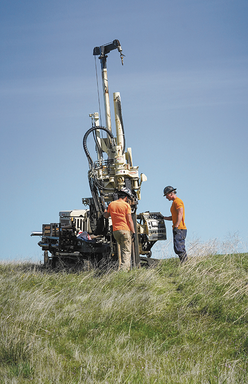
Randy Nattis, federal on-scene coordinator with the EPA’s emergency response and prevention unit, said the surveying process, where the drillers will dig 10 holes, known as aquilots, up to 3 feet deep in each of the 18 decision units all around the property.
Each of the deposits from the aquilots will be evaluated with an in-field analysis using XRF, or X-ray fluorescence, he noted.
“It gives us really good, almost laboratory, metal evaluations of what’s in the soil,” Nattis said.
The composites are then consolidated and sent off to a laboratory for analysis, after which the field data can be compared to the laboratory.”
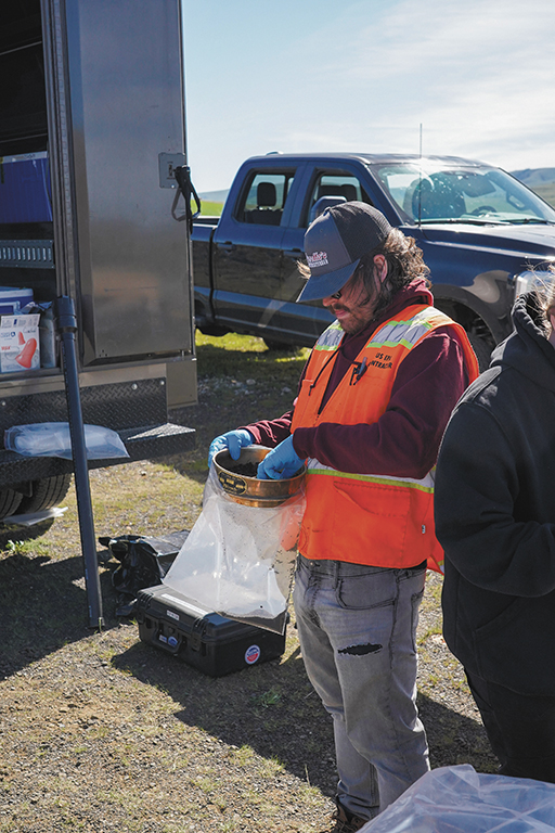
After collecting the samples, the soil is sifted to keep out other fragments. Nattis noted that, through the sifting, bullet fragments had been separated as well as a spark-plug. Fragments like these can interfere with the analysis and alter the composition levels of the samples.
Evan Meinzer-Coleman, a project geologist with Weston Solutions Inc., conducts the on-site analysis, evaluating soil horizons and their composition.
After collecting soil samples from the 18 decision units, Nattis said they’ll collect a sample from the pond itself, just below the surface.
Fullen said the pond reaches depths of up to 30 feet in some areas. He added that crews found four submerged cars last year, along with tires and other debris.
CTUIR Environmental Toxicology Technician Devan Noblit pointed out the risk of lead contamination could spread to other nearby freshwater sources.
“We’re out here to make sure that the water is protected, and that there’s no contamination that they’re stirring up that gets in the waterways,” Noblit said.
Fullen noted that the Umatilla River is about 600 yards from Johnley Pond, raising concerns about the potential for lead contamination to spread through groundwater and affect nearby freshwater sources.
By analyzing the aquilots, EPA officials can determine lead levels and compare them to regulatory thresholds. The results will show whether contamination exceeds those limits in different decision units, helping identify where it has spread and at what concentrations. “We’ll look at that once we can make that determination based on the analytical and operation pathways,” Nattis said, “Then, we’ll start thinking about what a removal action would look like, what our strategy is. Then, we’ll gauge back with the CTUIR to figure out what is the best path forward and to be the most protective.”