MISSION — The Oregon Department of Transportation (ODOT) and Confederated Tribes of the Umatilla Indian Reservation (CTUIR) are working together on a plan to protect the long-term function of the Interstate-84 Exit 216 interchange.
The plan, known as an Interchange Area Management Plan (IAMP), is intended to improve safety, traffic flow, pedestrian and bicycle activity, local street connectivity and may include modifications to public and private property access.
“It’s a pretty common process when an interstate interchange has been around for a long time and is coming up on some major maintenance schedules,” CTUIR Senior Planner Dani Schulte said. “So, those are good times to look back and say, ‘OK, so if we’re going to spend a lot of money on maintenance, what should we change?’”
According to the technical memorandum provided by Kittelson and Associates, a transportation engineering and planning consulting firm, the area around the exit has grown substantially since it was built, including Wildhorse Resort & Casino (WRC), Coyote Business Park and Arrowhead Travel Plaza.
“Additional growth is expected in the immediate vicinity on both sides of the interchange. The current interchange bridge lacks sidewalks or room for turn lanes and has a ‘substandard’ railing safety rating,” the firm wrote in its problem statement.
The I-84 interchange connects Highway 331, the designated freight route between I-84 and Highway 11, providing connection to Milton Freewater and Walla Walla. Highway 331 is also the primary north-south route through the Umatilla Indian Reservation (UIR), providing access to Arrowhead Travel Plaza, WRC and the Nixyáawii Governance Center.
IAMP’s primary goal is to protect the interchange’s function for the next 20 years while working with the changes of the land use and traffic patterns.
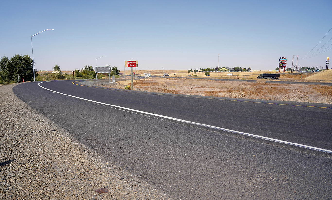
Schulte said there had been complaints regarding the vertical curvature of the overpass, providing the challenge of a short sight distance to drivers turning north onto South Market Road.
“So that is a problem ODOT has been trying to figure out for a long time. They’ve done little things here and there. They’ve added lighting, They’ve cut back the guardrails so that you could see further,” Schulte said.
While the visibility in itself is a safety problem, she also pointed out that cutting back the guardrails is too.
“We’re trying to look at what will change in the next 20 years, so what do we expect the needs to be then, not just right now?” she said.
Schulte said the sightline issue and keeping stride with the incoming growth in the area — as Coyote Business Park South begins to fill in with more commercial tenants, with neighborhood proposals to the General Council and developments south of Tutuilla Church Road — are things that need to be taken into consideration for the longevity of the interchange.
“There’s a lot of growth in the area that we have to take into account as we plan for what’s next,” Schulte said. “There’s a creek there that is a fish-bearing stream, so we have to take all of those complex interrelated pieces into account when we come up with a solution.”
The IAMP contains primary objectives to achieve that goal: considering the surrounding contextual land use and roadway network; improving pedestrian and bicycle connectivity; providing for efficient connectivity, right-of-way and access control; refining and and prioritizing improvements needed to maintain acceptable traffic operations at the interchange; and providing plans for improved local street connectivity.
Other objectives include evaluating existing and potential land use designations, overlay zones, intensities, conditions and actions that could have favorable or adverse effects; implementing policies to be adopted by the CTUIR’s plans; interchange access standards and zoning ordinances; and developing alternatives that consider the surrounding topographical context, environmental impacts, construction cost, potential phasing strategies and funding situations.